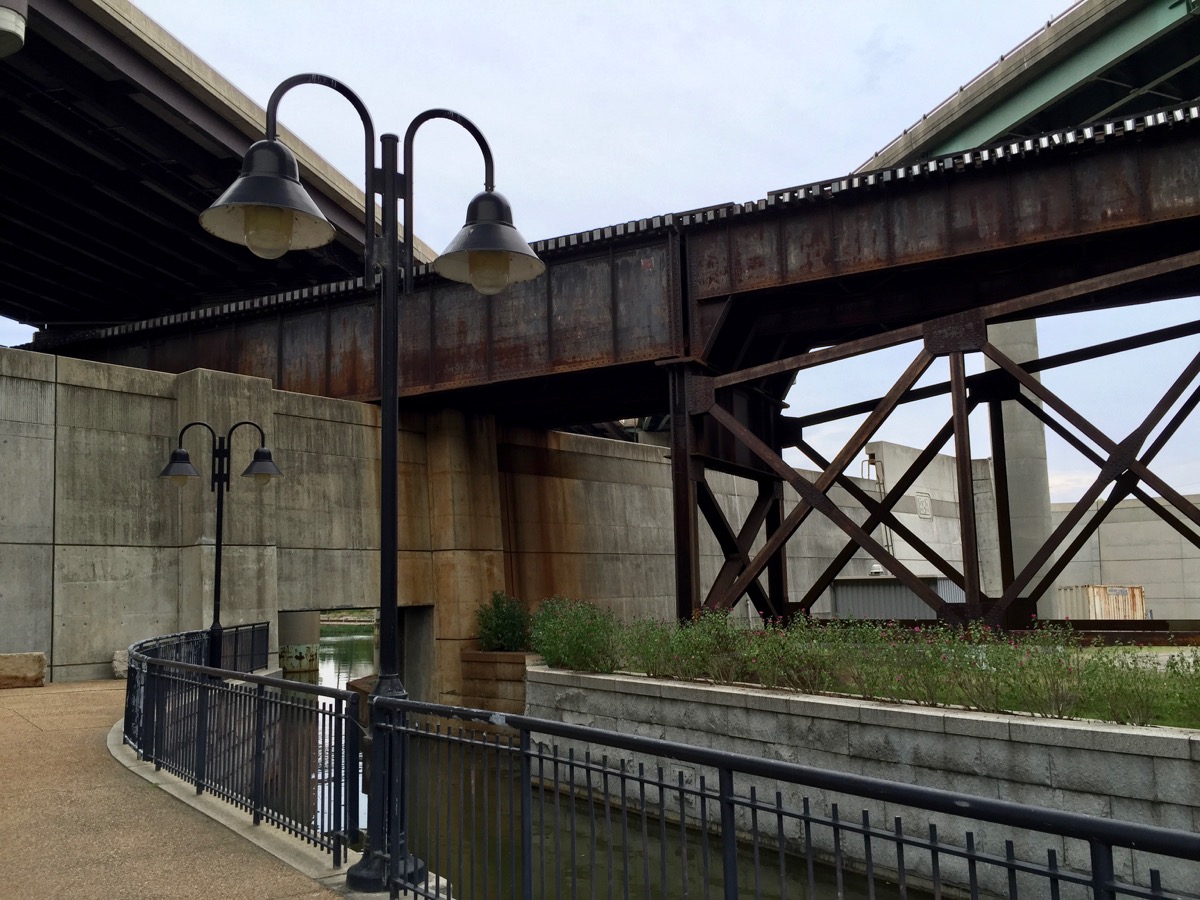
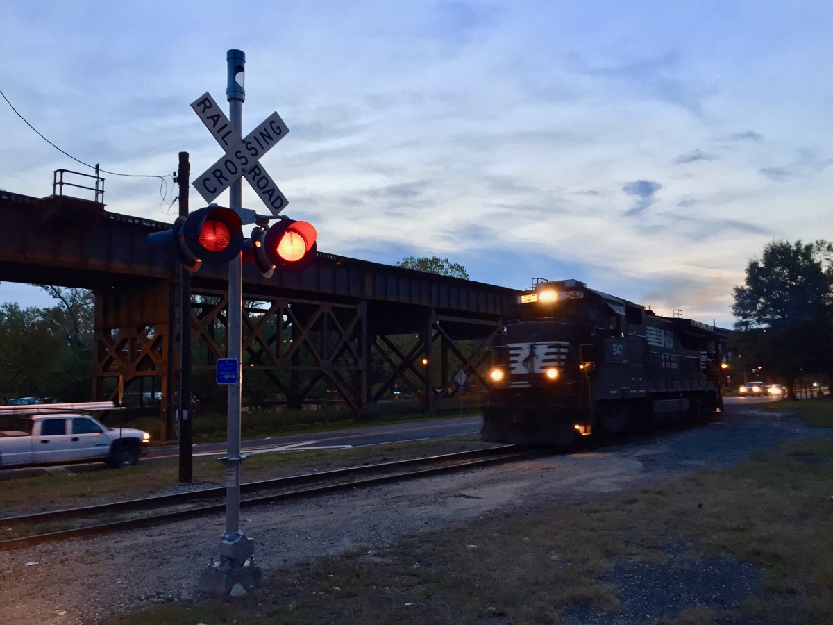
Belle Isle 的河岸风光,远处同时有火车通过。
Belle Isle是位于James River下游浅河床上的一个无人岛。在美国内战期间岛上有人居住,并建立了一座战争监狱和一个村庄。在随后的20世纪,这里被用作一个水力发电站场地,直到1963年水电站被废弃。如今,作为一个州政府拥有的地块,Belle Isle成为了一个城市公园。这里拥有优美的风景,清爽的空气,还有各种野生动物以及它们的自然居住场所。公园最引人注目的地方在于,这一切景观离里士满市中心地区仅有数分钟的距离。Belle Isle可以通过一座位于Robert E. Lee大桥下面的悬索桥进入,步行或骑车均可。如果James River(詹姆斯河)的水位不是太高,Belle Isle也可以由河的南岸进入,通过跳石头的方式。在Belle Isle上,人们可以欣赏到Browns Island(布朗岛),Forest Hill(森林山)公园,旧Tredegar铁器厂,以及里士满城市的天际线。Belle Isle有数条徒步或骑车路径,在路径之上,还有很多旧建筑和铁路的遗址可供观赏和体验。
游客通过悬索桥进入Belle Isle。


水电站旧址。
因为Belle Isle有足够的植被,同时免受频繁的人类活动的干扰,岛上有不少野生动物。这是一个不寻常的城市中心之景。各种鸣鸟,水鸭,鸬鹚和蓝鹭都比较常见,同时,松鼠等小型哺乳动物,以及一些两栖及爬行动物也在岛上居住。Belle Isle是一个周末休闲及户外活动的安全好去处。大人和小朋友都喜欢的热门活动包括路径徒步,在James River上游泳,跳石头,晒太阳,观鸟,划独木舟和小船,以及在石头上野餐 — 同时近距离欣赏数米外的急流。

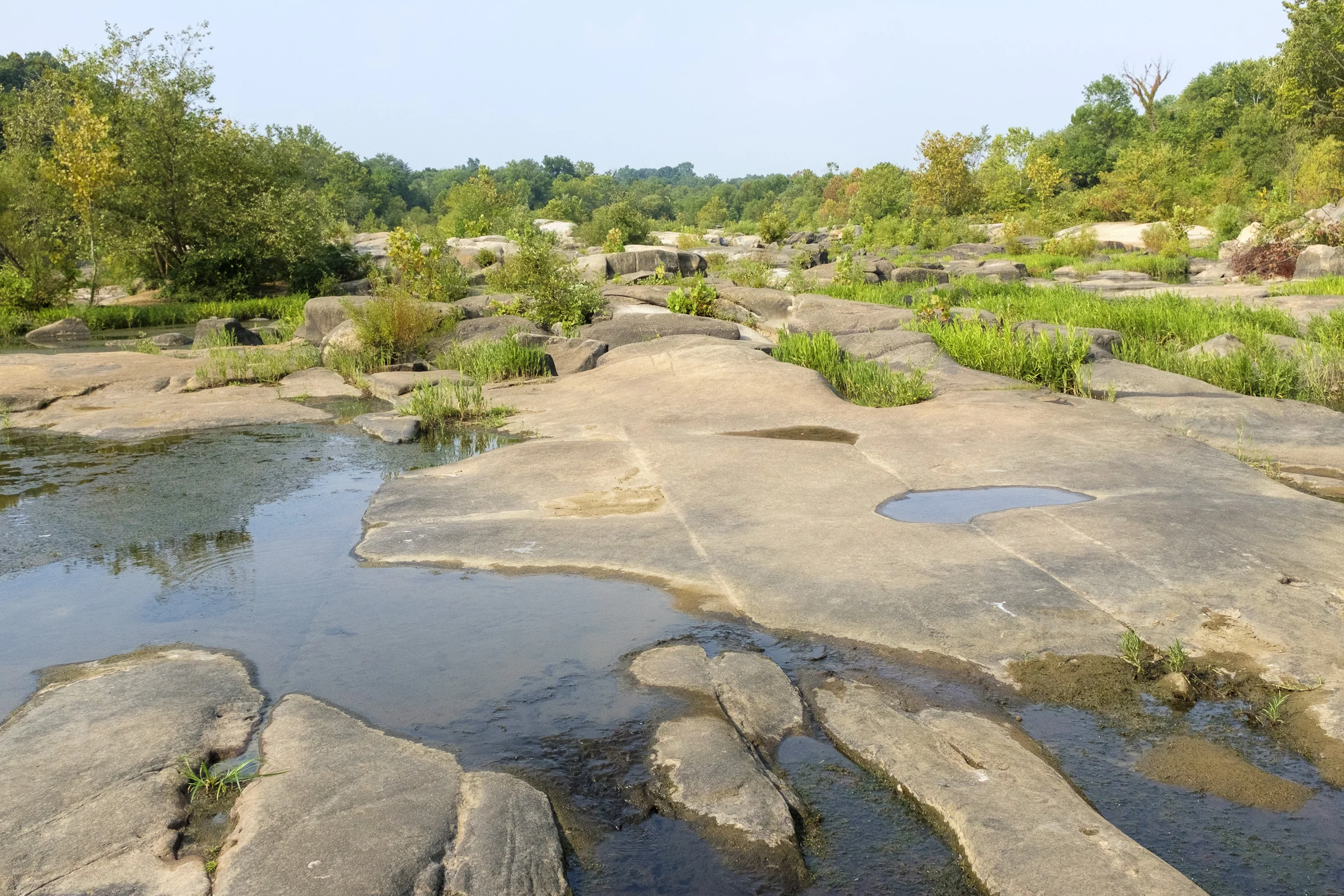


连接Belle Isle和詹姆斯河的石头河床。
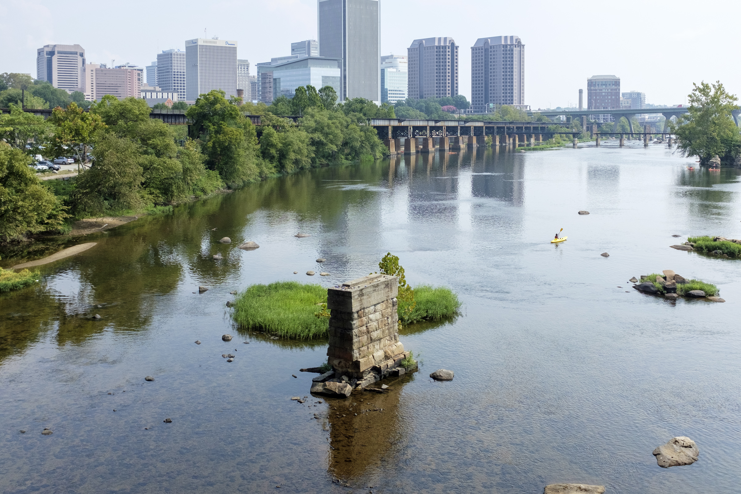
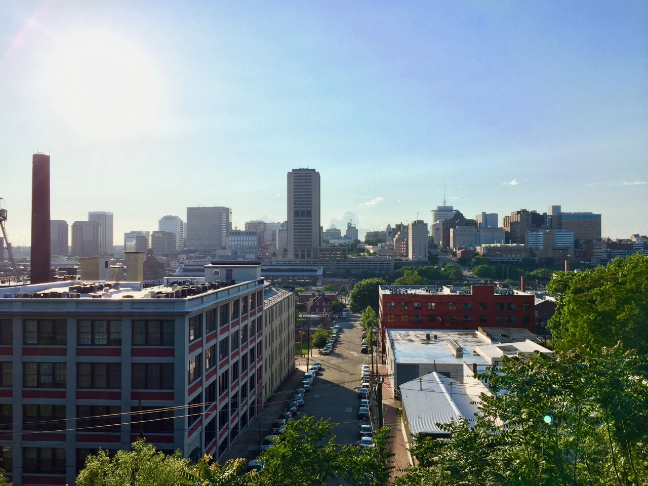
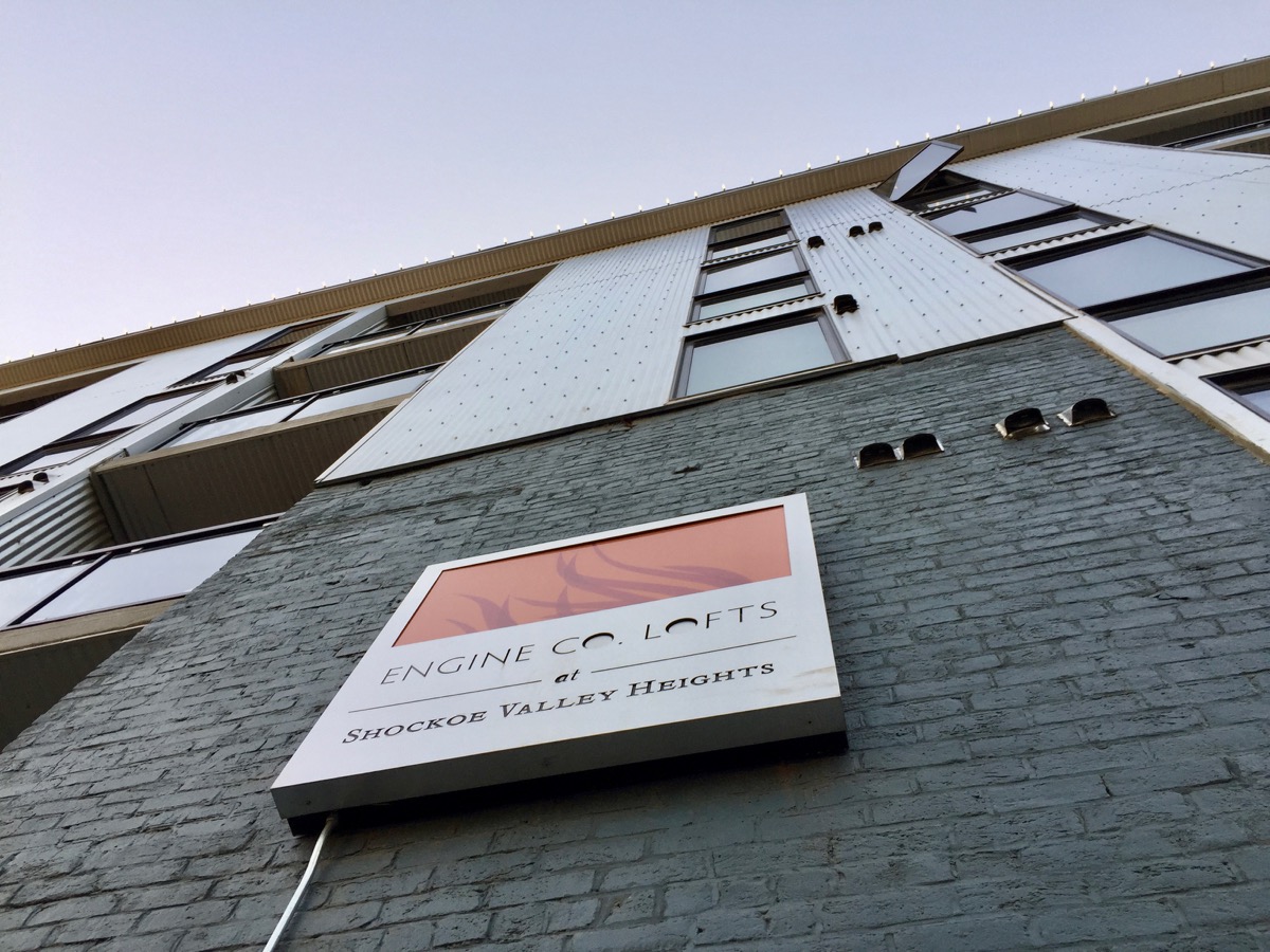
里士满,新旧交融之地。


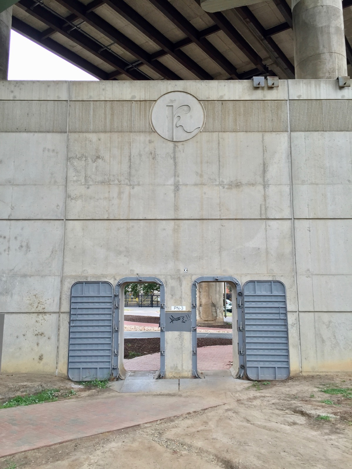
Belle Isle入口风光。
Belle Isle同时靠近另一个开放的草地公园—布朗岛(Browns Island)。在布朗岛上人们可以观看城市的工业结构,在James River河床亲水,参观历史场所(旧Tredegar铁器厂,如今弗吉尼亚内战纪念中心),参加徒步路径,以及音乐会等。一年一度的里士满乡村音乐节在此举行。风景优美的T. Tyler Potterfield步行桥连接着布朗岛和James River的南岸。这条步行桥平行着内战期间的Mayo桥的遗址。在水位不是太高的情况下,James River的南岸也可以到达Belle Isle,把两座岛屿和河岸连在一起。这两座岛屿,以及桥梁和历史遗址,共同组成了一个休闲娱乐教育场所。它们是是James River公园系统的一部分,并且是里士满城市的皇冠。
布朗岛风光:


时间:
全年开放。
8:30 am – 9:30 pm (夏季)
8:30 am – 5:30 pm (冬季)
布朗岛地址(可以在此通过悬索桥进入Belle Isle):
S 7th St, Richmond, VA 23219
网站:
Bells Isle: http://www.jamesriverpark.org/visit-the-park/getting-there.php
Browns Island: http://www.brownsisland.com/